Planning continues to enhance and grow the trail through neighborhood connecting trail spurs and by lengthening the main trail itself. Through efforts of the Lake Conestee Foundation, Greenville Hospital System, Greenville Rec, and ReWa (Water/Sewer Authority,) riders and walkers already have access to a great 4 miles of trails south of the city around Lake Conestee. There's great hope to join this section to the main trail over the coming years, and citizens and their elected representatives are looking at the best route that makes economic sense and protects private property values. For lack of a better name, I call this section Swamp Rabbit Trail - South, and until/if it joins the main trail, it will stand alone as a desirable, destination activity. Yesterday I treated myself to a ride down South.
I parked at the southernmost trail head where the old mill stands. The Reedy River was dammed here, creating Lake Conestee. This link covers the history if you're interested in reading more.
http://conesteepark.com/history
Although surrounded by homes, Lake Conestee is sheltered enough for one to immerse in the natural beauty. Migratory birds, reptiles, and small mammals abound in the area. It's not surprising to see a dozen species of birds, turtles, squirrels, and rabbits on any visit. I drove down yesterday for a bike ride, but on many of my visits, I take advantage of the multiple hiking trails.
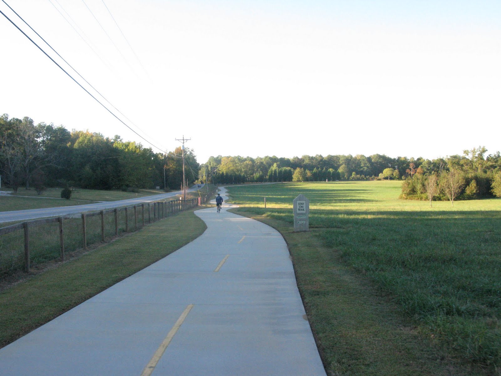
From the starting point by Conestee Mill, you take the trail north, down to lake level and follow its undulating path through Lake Conestee Park. There are a few forks, but the route is well marked. At 1.9 miles, you come to another trail head/parking lot in the Augusta Acres neighborhood. The Swamp Rabbit takes to surface roads here up to the 2.5 mile mark. The road route is well marked and car traffic light. While the Lake Conestee portion is undulating, this next section is just plain hilly. Whatever you're lowest gears, you'll need them. Stay on the trail and enjoy the scenery. You'll cross the Reedy River at about the 3.2 mile mark. The trail goes from asphalt to packed sand here, but the surface is well maintained and pleasant to ride on. At 3.5 miles, you'll see the ReWa fencing and enter the heart of the water treatment area. A boardwalk leads over scenic wetlands filled with cattails. At 3.8 miles you go under Mauldin Rd beside the Reedy River and the ReWa headquarters. The trail rises up to parallel Parkins Mill Rd where it ends under I-85 at the 3.9 mile mark. I turned around, and after exploring a little on the side, I returned to the car with 9 miles under my belt. The solid hour ride with the hills and sights was a perfect mind cleanser and a phenomenal way to end the weekend.
Google Bike Map of Greenville,SC (Showing Main & Southern Sections of the Rabbit)
The darkest green is the Swamp Rabbit Trail
Lake Conestee Maps
There are generally maps available at the trail heads, but you can download you're own detailed map here.
 |
| Wetlands just north of Lake Conestee |
 |
| Markings where hiking tails cross the Swamp Rabbit Trail |
 |
| Handy directional arrows |
 |
| Current end of trail at I-85 and Parkins Mill Rd |
 |
| Directional arrows on Trail and Roads |
 |
| Hillssssssssssssss!!!!!!! |
 |
| 3 Picnic Tables Sit Beside the Tail Close the Augusta Acres Trail Head |
 |
| Wetlands view from the ReWa boarwalk (Water Treatment Facilities in the Distance) |
