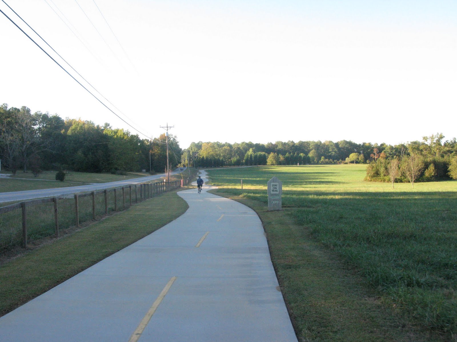
The trail started behind Cyclopedia near the entrance to Litchfield Beach resort. The area was teaming with congestion around the resort, grocery store, restaurants, and shops, and this was a great beginning to the trail because it lead pedestrians and cyclists off the busy road and safely from point A to point B. After about a mile and half, the trail gave way to a route through a calm residential area for several blocks before once again becoming a dedicated path. The next 3 miles of trail appear newly constructed and run parallel to US Highway 17 toward Murrell's Inlet. This 6 foot wide section cuts through pine forests and was generally 5+ degrees cooler than out in the sun. Over the week, I rode the Neck 3 times, and this was easily the most enjoyable section. There's two way traffic, so be careful, but I was able to gear up and get some nice speed. The slight turns around trees and subtle humps gave me a mountain biking sensation. This section also passes by the entrance to Huntington Beach State Park which is a must see. Bike admission is $2, but a couple of times the Ranger just waved me in (there's also a turn off before the Ranger check point. Let your conscience be your guide.) Huntington Beach is worth your time for access to a beautiful beach plus bird and alligator watching. Back to the trail, this 3 mile section crosses over a scenic salt marsh before ending at Highway 17A and continues as a bike lane through Murrell's Inlet all the way to the Horry County line. Murrell's Inlet prides itself as South Carolina's Seafood Capital, and you'll do well to treat yourself at one of the many restaurants.
I registered 20.3 miles from Cyclopedia to the Horry County Line and back (without the Huntingon Beach detour,) so this rides can stand on it's own, but the great news is this is a segment of the East Coast Greenway that will one day continuously connect Maine to Key West.
I rode between July 11th and 15th, 2011. Trail expansion continues as indicated in this map
Map : Waccamaw Neck Bikeway
East Coast Greenway
http://www.greenway.org/index.shtml
For friendly local advice, supplies, and affordable rentals, try Cyclopedia
http://www.cyclopediaonline.com/
Huntington Beach State Park
http://www.southcarolinaparks.com/huntingtonbeach/introduction.aspx
 |
| Curvy, Fun 3 Mile Section Through the Woods |
 |
| Bridge Crossing the Marsh onto Murrell's Inlet |

 |
| Causeway onto Huntington Beach |
No comments:
Post a Comment